Singlebeam echosounders have been used routinely for many years to collect depth data from the world’s oceans. This acoustic technique relies on a vessel-mounted transducer to generate a single acoustic pulse directed towards the seabed underneath the vessel.

The echosounder then calculates a depth measurement based upon the travel time for the reflected seafloor echo to return to the receiver and the speed of sound through water (about 1500 m/sec).
During the 1970s, development began on multibeam sonar systems that use a multi-element transducer array to transmit a fan, or swathe, of acoustic energy across the vessel’s track. The swathe is narrow in the along-track direction, typically 1-2 deg, and wide in the across-track direction, generally 120 deg or more.
The transmitted acoustic pulse frequency ranges from higher frequencies up to 450 kHz for mapping shallow coastal waters and the continental shelf, down to lower frequencies of 12 kHz for mapping the deep abyssal seafloor.
The multibeam receiver array measures the slant range and elevation angle of multiple seafloor echo returns across the swathe, and usually the echo strength of the returns which is called backscatter or amplitude.
The multibeam sonar system also tracks the precise position of the vessel and motion data, such as gyro heading, heave, pitch and roll, to calculate an accurate depth and position for the individual depth soundings. The number of depth measurements across the swathe varies between instruments but can be 100s to 1000s of soundings per second.
As long as the vessel is moving forward relative to the seabed, a multibeam mapping survey results in a dense ‘point cloud’ of soundings that can be used to generate a 3D depth model which accurately maps the underwater landscape.
The resolution of seabed features that can be detected in such 3D depth models can be sub-metre in size for shallow waters. However in deeper waters, the resolution of observed features reduces to tens of metres due to the spreading properties of acoustic energy over longer distances and the lower frequencies used to detect the seafloor.
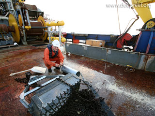
The Gallery images and Movie below are from various multibeam surveys conducted on the Great Barrier Reef and in northern Australian waters.
Gallery images

Simrad EM300

Simard EM102

Canyons
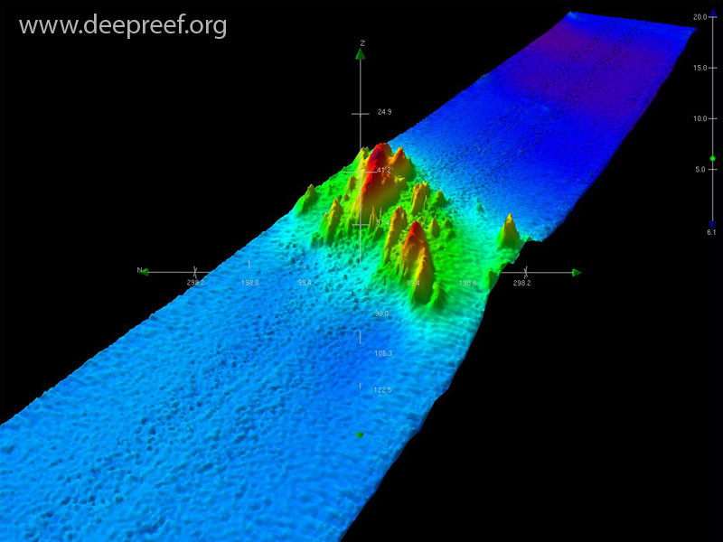
Pinnacles

Sand Waves

Seabat 8101

Pinnacles

Fansweep 20

Plateau Margin

Sand Waves

Algal Mounds