ALOS satellite imagery over the GBRConsequently, the digital elevation models of the seabed topography created for the Great Barrier Reef and Coral Sea, which rely on these source datasets, do not show the true 3D shape of coral reefs where the source bathymetry data are lacking. Accurate 3D models of the seafloor, including the reefs, are needed by scientists and marine managers to understand how the landscape influences the ocean environment and for marine reserve zoning.
For example, modelling for water quality and freshwater plume tracking, or for modelling Crown of Thorns starfish larval tracking across the GBR, need accurate 3D models of the underwater landscape. Identifying or predicting the likely seabed habitats on reefs, which are strongly influenced by depth zonation, require accurate 3D representations of those reefs.
 WV-2 bathy data over Moore Reef © EOMAPAn innovative solution is to use satellite derived bathymetry (SDB) as a vast untapped data source that can supplement existing digital survey data by providing cost-effective, high-resolution depth data for the shallow coral reefs. These areas are usually difficult to access with traditional survey techniques using ships.
Empirical satellite bathymetry methods require existing bathymetry data to calibrate the satellite bathymetry data. Physics-based algorithms are able to derive bathymetry from satellite image data without the need for validation depth data. Using modern high-resolution satellite images, SBD techniques can provide dense bathymetry data in optically-shallow waters, including seabed reflectance (seabed habitats) and water column properties.
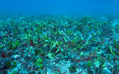
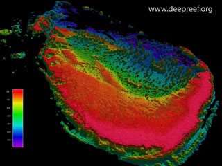
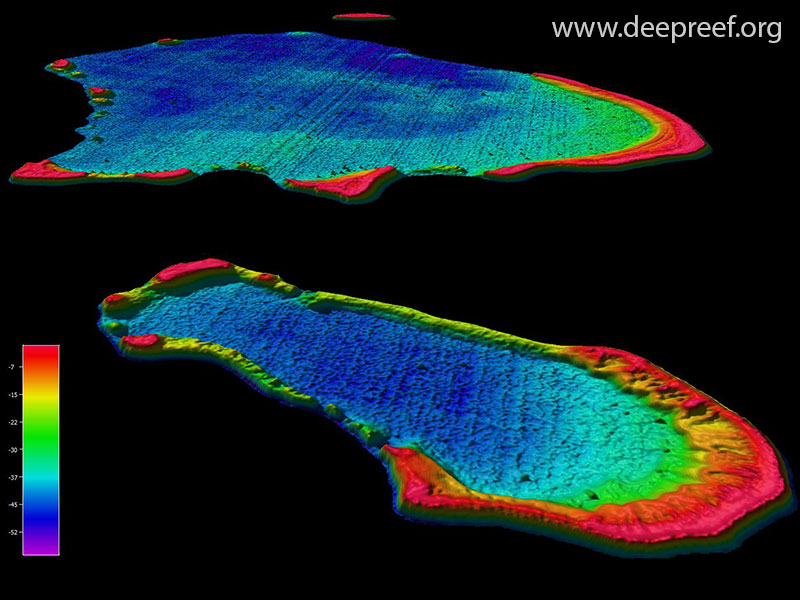
This project is developing examples of SDB data for the shallow coral reef areas of the Great Barrier Reef and Coral Sea. For example, Landsat7/8 imagery can be used to generate bathymetry data at 15-30 m resolution. ALOS and Sentinel-2 imagery can be used to generate bathymetry data at 10 m resolution, and WorldView-2 imagery can be used to generate 2 m resolution data. The Gallery below shows images of some of the reefs we have used for this technique.
Gallery Images

WV-2 Moore Reef © EOMAP

WV-2 Wreck Reef © EOMAP

WV-2 Heron Island © EOMAP

WV-2 Lizard Island

Basic RGB

Landsat7 Swain Reefs © EOMAP

ALOS-lidar bathy compare
Landsat8 Flinders Reefs © EOMAP

WV-2 Arlington Reef © EOMAP

QuickBird Elizabeth Reef

Landsat8 Herald Cays © EOMAP