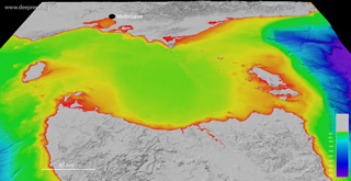
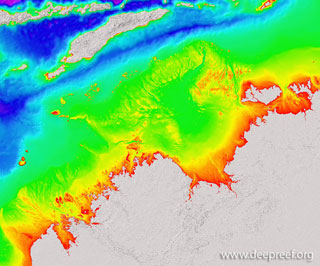
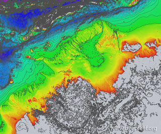
This dataset provides the new high-resolution bathymetry model for the Northern Australia, called the nthaus100 grid. The ~100 metre-resolution gridded bathymetry dataset covers an area of about 1,442,000 km, from Broome in Western Australia to Arnhem Land in the Northern Territory, across the north-east Indian Ocean and Timor Sea to the Arafura Sea. This page provides the data in a range of formats for public download.
NOT TO BE USED FOR NAVIGATION.
Gallery images
 |
|
 |
|
 |
Google Earth
 |
GeoTIFF hillshade
 |
Grid data (V3, 26 May 2017)
 |
|
Line data
 |
Metadata