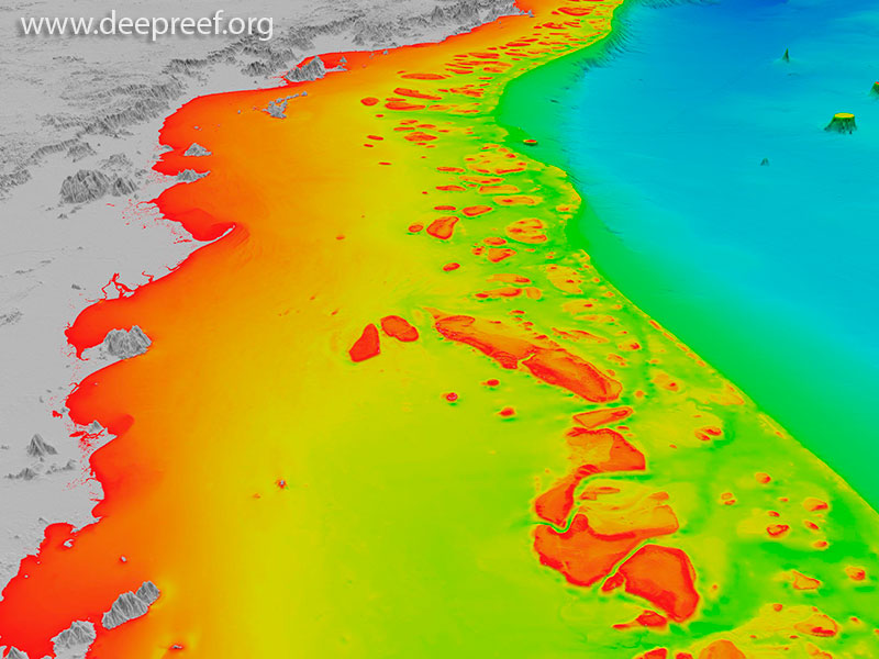
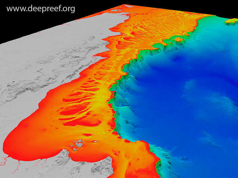
GBR Bathymetry
These 3D views are from the new high-resolution bathymetry model for the Great Barrier Reef and Coral Sea, called the ‘gbr100’ grid. The grid has a pixel size of 100 metres and the geographic area ranges from the tip of Cape York to northern New South Wales, then offshore almost to New Caledonia.
Much of the source bathymetry data for the project were provided by the Australian Hydrographic Service using Royal Australian Navy hydrographic survey data collected over many years. Other important source bathymetry data were obtained from Geoscience Australia. The project partners gratefully acknowledge the assistance of the AHS, RAN and GA staff to the project.

SE Qld Plateau

NW Qld Plateau

Offshore Bowen

Offshore Bundaberg

Tasmantid Seamounts

Offshore Gladstone
Offshore Cape York

Offshore Cooktown

Offshore Brisbane

Offshore Cairns

Offshore Bowen