
The annual Map the Gaps GEBCO Symposium on Bathymetry was held in Canberra, and hosted by Geoscience Australia and Land Information New Zealand.
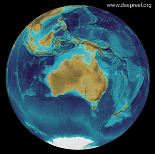 bathymetry of Australia region, GEBCO grid
Two days of meetings preceded the Symposium, for the GEBCO Technical Sub-Committee on Ocean Mapping (TSCOM) and the Sub-Committee on Regional Undersea Mapping (SCRUM).
The Nippon Foundation-GEBCO Seabed 2030 Project, to produce the definitive map of the world ocean floor by 2030, stimulated much discussion how to find and access new depth data.
The Symposium highlights were Andy Hogarth’s (Teledyne-Caris) keynote presentation on the OGC Marine Domain Working Group, Artificial Intelligence on multibeam data, and bathymetry-as-a-service through the cloud.
Many thanks go to Kim and GA team and Johnathan from the AAD for organising all the meetings and social events, and to the convener Tim Kearns for a great week.
Additional media


